Ocean Starr
1966 CUSTOM Research Ship
LOA: 172' (52.43m)
Beam: 36' 6" (11.13m)
Max Draft: 12' 1" (3.68m)
Speed:
Cruising 10 Knots
Max 12 Knots
VAT Paid: US Duty Paid
Build/Model Year: 1965 / 1966
Builder: CUSTOM
Type:
Motor Yacht
Expedition or Explorer
Price: $990,000 USD
Location: Seattle, Washington
United States
Additional Specifications For Ocean Starr:
LOA: 172' (52.43m)
Beam: 36' 6" (11.13m)
Max Draft: 12' 1" (3.68m)
Hull Material: Steel
Superstructure: Steel
Hull Config: Full Displacement
Hull Designer: NOAA
Deck Material: Steel
Tonnage: 828.00
Range At Cruise Speed: 7500
Range At Max Speed:
Speed:
Cruising 10 Knots
Max 12 Knots
Ext Designer: NOAA - U.S. Government
Fuel Capacity: 50000 Gal
Water Capacity: 8000 Gal
Holding Tank: 320 Gal
Flag: Unites States
Location: Seattle, Washington
United States
Price: $990,000 USD
Tax Status: US Duty Paid
Delivery/Model Year: 1966
Year Built: 1965
Builder: CUSTOM
Model: Research Ship
Type: Motor Yacht Expedition or Explorer
Engines: 534 HP,Twin, 1965, Inboard, Diesel, Hercules Motors Corp, White-Superior,
Staterooms: 19
Sleeps: 33
Heads: 19
Captain Cabin: No
Classifications:
American Bureau of Shipping Research Vessel
MCA: ISM:
Propulsion Machinery

Type: Geared Diesel Main Engines

Quantity: 2
Type: Diesel
Manufacturer: White­Superior Rated Power (each): 534 HP

Propellers Quantity: 2

Size: 5.7 ft. diameter Blades: 3, controllable pitch Manufacturer: Bird Johnson

Bow Thruster Quantity: 1

Type: Tunnel Thruster Manufacturer: Hundested Drive: Electric Motor Rated Power: 200 HP

Fresh Water System

Storage Capacity: 8,000 gal.
Normal Consumption: 1,000 gal./day Evaporator

Quantity: 2
Type: Jacket water heat generated Manufacturer: Riley­Beard Inc.
Rated Capacity (each): 1,000 gal./day

Pollution Control

Sewage Waste Control
Type: Electromechancial

Manufacturer: Ominpure

Holding Capacity: 320 gal. Oily Waste Control

Type: Oily Water Separator Manufacturer: World Water System Holding Capacity: 30 days

Electrical System

Ship Service Generators Quantity: 2

Type: Diesel
Manufacturer: General Motors/Delco Rated Power (each): 200 kW
Output Voltage: 450 VAC, 60 Hz, 3Ø

Emergency Generator Quantity: 1

Manufacturer: General Motors/Delco Rated Power: 30 kW
Output Voltage: 450 VAC, 60 Hz, 3Ø

Electrical Service Ship Service

450 VAC, 60 Hz, 3Ø 220 VAC, 60 Hz, 1Ø 120 VAC, 60 Hz, 1Ø

Uninterruptable Power for Computer and Scientific Equipment 120 VAC, 60 Hz, 1Ø

Medical Facilities

Emergency and first aid services are administered aboard the vessel by the Medical Officer, a certified Emergency Medical Technician (EMT), and assisted by two certified EMT crew members. On cruises of long duration in remote locations, a U.S. Public Health Service medical officer may be on board. Limited quantities of emergency medical supplies are carried aboard.

Accommodations

Commissioned Officers: 4

Licensed Engineers: 3

Crew: 11
Scientists: 15

Special Features

Bow Observation Chamber
Helicopter Flight Deck has been fit previously

Flying Bridge Observation Station: Station includes canopy frame,

GPS and bridge communications

Deck space for two portable lab containers

Deck Equipment

Winches
• CTD Winch
• Quantity: 1
• Manufacturer: Markey
• Model: DESH­5
• Drive: Electric AC­SCR/DC Motor, 75 HP
• Line Speed: 100 m/min. (max); 60 m/min. (typical)
• Maximum Pull: 7,000 lbs. mid­scope
• Drum Capacity: 6,000 m of .322 conductive cable
• Location: 01 Level, Frame 44, Port
Hydrographic Winch
• Quantity: 1
• Manufacturer: Marco
• Model: W­1920
• Drive: Hydraulic
• Line Speed: 237.8 m/min.
• Maximum Pull: 1,600 lbs.
• Drum Capacity: 2,000 m of 1⁄4" 3­strand wire (non­conductive)
• Location: 01 Level, Frame 52, Starboard
Combination Winch
• Quantity: 1
• Manufacturer: Marco
• Model: W­1816
• Drive: Hydraulic
Trawl Drums
• Quantity: 2 (1 Port & 1 Stbd)
• Line Speed: 60 m/min.
• Maximum Pull: 12,000 lbs.
• Drum Capacity: 3000 m of 5/8" wire (non­conductive)
Center Drum
• Quantity: 1
• Line Speed: 48.8 m/min
• Maximum Pull: 6,500 lbs.
• Drum Capacity: 1000 m of .322 conductive cable
• Location: Winch Room (1st Platform, Frame 57, Centerline)
Net Reel Winch
• Quantity: 1
• Drive: Hydraulic
• Drum Width: 2.44 m (8 ft.) between flanges
• Drum Diameter: 1.25 m (4.12 ft.) at flange; 0.41 m (1.33 ft.) at hub • Location: Main Deck, Frame 70, Centerline (Removable)
Choker Winch
• Quantity: 1
• Maximum Pull: 6,000 lbs.
• Drum Capacity: 25 fm of 5/8" wire
• Location: 01 Level, Frame 55, Centerline

Ground Tackle

Bow Anchor
• Quantity: 2
• Type: Stockless
• Weight (each): 1,940 lbs.
Anchor Chain
• Quantity: 2
• Size and Type: 1 ­ 3/16 in. stud link • Length (each): 105 fathoms

Over Side Handling

Gantry (A­Frame)
• Quantity: 1
• Safe working load: 11,750 lbs
• Clearance over the side: 3.3 m (11 ft.) outboard of the transom
• Horizontal Clearance: 4.1 m (13.5 ft.) inside of the gantry
• Vertical Clearance: 6.6 m (21.5 ft.) in the vertical position; 5.9 m (19.3 ft.) in the full back position • Location: Main Deck, Aft, Centerline (Removable)
J­Frame
• Quantity: 1
• Safe working load: 8,000 lbs
• Clearance over the side: 3 m (10 ft.) outboard of deck edge
• Location: Main Deck, Frame 50, Port
Port Davit
• Quantity: 1
• Capacity: Light weight towed devices (less than 100 lbs.)
• Clearance over the side: 3.5 m (11.5 ft.) outboard of deck edge
• Location: 01 Level, Frame 43, Port

Cranes and Booms

Telescoping Boom Crane
• Quantity:
• Manufacturer: Alaska Marine
• Lifting Capacity: 11,838 lbs.
• Lifting Capacity (with boom extended): 3,750 lbs. • Boom Length: 15.2 m (50 ft.)
• Location: 01 Level, Frame 54, Centerline Articulated Boom Crane
• Quantity: 1
• Manufacturer: Husky Marine
• Boom Length: 5.5 m (18 ft)
• Lifting Capacity: 4,650 lbs.
• Lifting Capacity (with boom extended): 1,800 lbs. • Location: 01 Level, Frame 10, Port

Communications Equipment


High Frequency SSB (SEA 330):

SEA Inc. 300­watt high frequency transceiver. The transceiver covers a frequency range from 1.6 to 29.9 MHz and has a frequency memory containing all normally assigned ITU and TELEX channels plus some user programmable channels. The system is set up with one operating station fixed in the Radio/Chart room and one voice capable station that is adjustable within cabling and distance requirements, currently set­up in the computer room.

Global Maritime Distress and Safety System (GMDSS):

Full suite of Sperry GMDSS communications equipment. The Sperry high frequency transceiver is a 250­watt output unit capable of operation on all ITU standard channels and digitally selective calling of another GMDSS equipped unit. The HF transceiver is located on the bridge. The Sperry VHF­DSC transceivers, of which the ship carries two, is a 25­watt output digital selective call equipped marine channel transceiver. Both VHF­DSC transceivers are located on the bridge. The Sperry GMDSS Standard C Inmarsat is capable of sending and receiving store and forward telex messages. The Standard C is located in the Radio room.

Also carried on board are several Emergency Position Indicating Radio Beacons (EPIRB) and Search and Rescue Radar Transponders (SART). VHF radios with eight channels pre programmed with a selection of marine band and NOAA frequencies. These radios are located on the bridge (2 fixed units) and RHIB (1 fixed unit per RHIB). The ship also carries a selection of hand held VHF radios available for operational use. Motorola cellular telephone connected to the ship's telephone system. Range of the system varies with the location of the land based cellular system.


Satellite Systems:

For Scientific projects, the Chief Scientist or designated representative will have access to ship's telecommunications systems on a cost­reimbursable basis. Whenever possible, it is requested that direct payment (e.g. by credit card) be used as opposed to after­the­fact reimbursement. The ship's communications systems include: INMARSAT­B For high speed data transmission, including :

FTP, and high quality voice telephone communications:

INMARSAT STANDARD C For low speed store and forward telex messages, approximately 500 baud message transfer. INMARSAT MINI­M For voice telephone communications and 2400 baud data transfer. Cost is about $3 per minute to the US and may be charged to credit card, collect, or otherwise reimbursed. Mini­M coverage is by spot beam and may not be available in all the areas the ship may be working in.

IRIDIUM: The ship carries a handheld Iridium phone.


Nav Equipment

Gyro compass:

Sperry Mark 37 MOD­D gyro. The gyro has a syncro to digital converter installed and the NEMA heading messages are available for scientific use. Output from the gyro is recorded by the shipboard data acquisition system (SCS). The Mark 37 gyro relies on manual latitude and speed corrections. The ship also has a Yokogawa MKM022 gyro compass.

GPS:

Two GPS receivers, Trimble Echo XL and Northstar 952X. Data outputs from the GPS receivers are available for scientific use and are continually recorded by SCS. A GPS networked time code receiver is presently time synching the shipboard data acquisition system and the computer dynamic positioning system. Software is available for time synching the networked PC­based scientific computers.

Navigation Nobeltec's Visual Navigation Suite is the navigation software package used on the STARR. The navigation program is continually run on the bridge while underway and has the ability to receive GPS input from DGPS.

Traditional paper charts are used as well.

Radar:

Two Raytheon navigational radars on the bridge. One radar is an ARPA X­band (3 cm) M34 and the other is an S­band (10 cm) Pathfinder. Both radars are used for collision avoidance and navigation.

Doppler speed log:

A Raytheon model DSN­450 Doppler sonar provides an indication of ship's speed, distance traveled and, at continental shelf depths, an indication of water depth. At deep ocean depths the speed is referenced to the water mass under the ship, water depth is inoperable. The speed output is also recorded on SCS and is available for scientific use.

NAVTEX Receiver for receiving and printing the international automated medium frequency (518 KHz) direct­printing service which provides navigational and meteorological warnings and forecasts, as well as urgent marine safety information to ships. Receiver is located on the bridge.

Weather fax:

Medium frequency/high frequency, amplified antenna facsimile receiver system for the reception of broadcast weather facsimile pictures and charts. The weather fax is located in the Bridge.

NOAA History

where researchers investigated seasonal variations in ocean temperature, currents and salinity and assessed the status of marine life.

The San Diego, Calif.­based ship collected hydrographic and biological data on the California Current System during California Cooperative Oceanic Fisheries Investigations (CalCOFI) research cruises. During this project, researchers studied the marine environment off the coast of California, the management of its living resources, and monitored the indicators of El Niño and climate change with quarterly cruises off southern and central California.

NOAA Ship David Starr Jordan also played an important role in yellow fin tuna fishery research that led to a major reduction in dolphin mortalities.

Data collected on the Jordan were critical in supporting the “dolphin­safe” tuna campaign and labeling requirements.

“The David Starr Jordan was a workhorse for more than 40 years, supporting the management of fish, marine mammals and sea turtles,” said Steve Murawski, Ph.D., NOAA’s chief scientist for fisheries. “We celebrate the crew, scientists and vessel as we look to the future.”

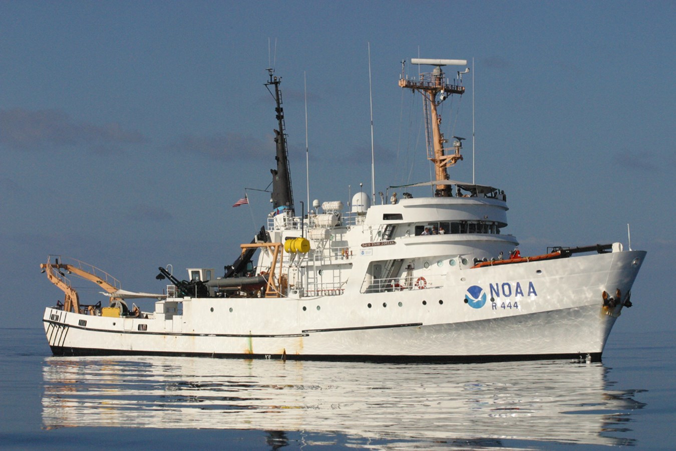
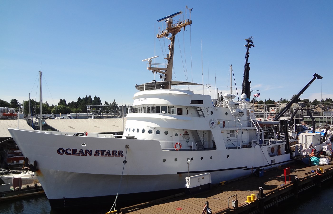
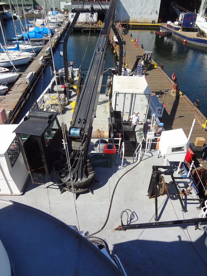
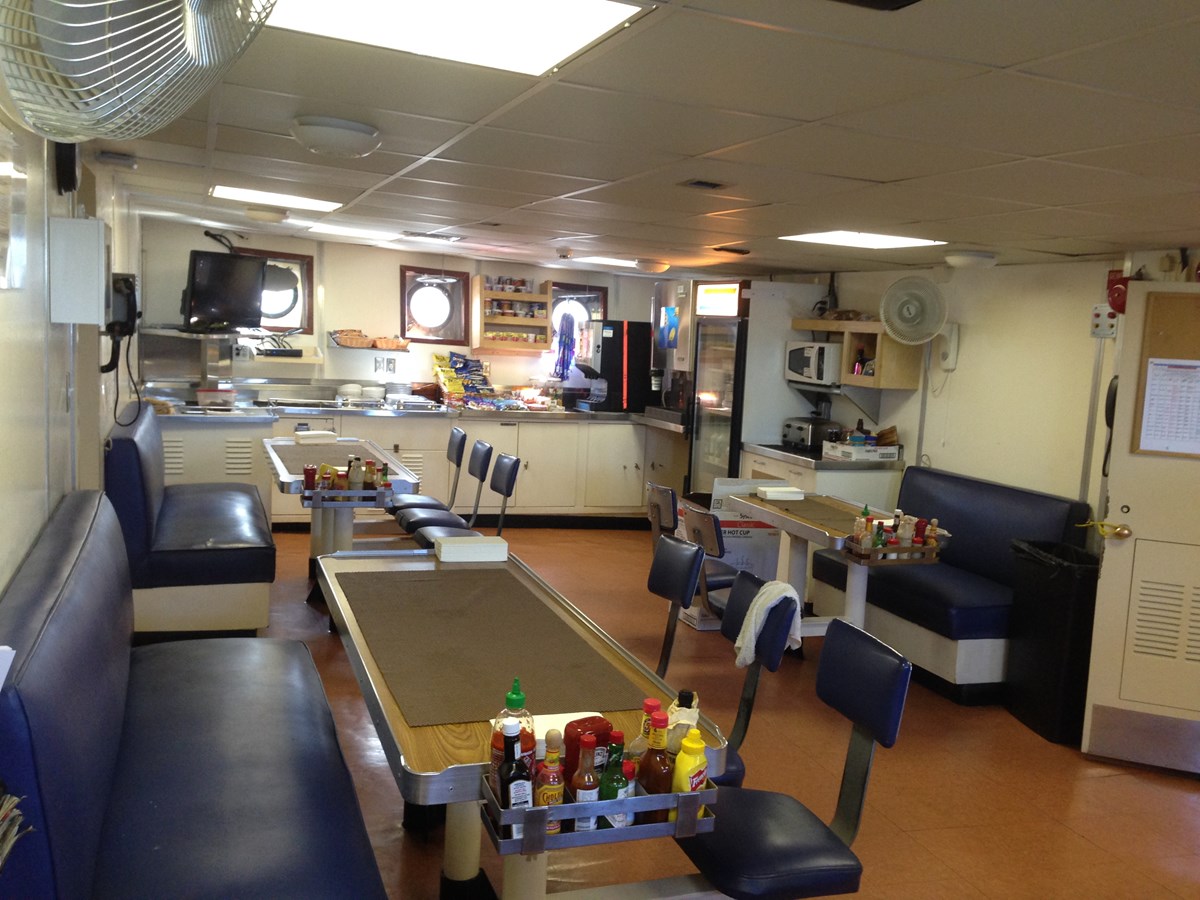
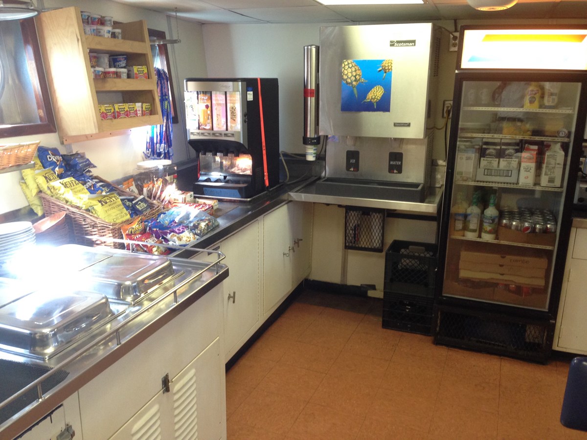
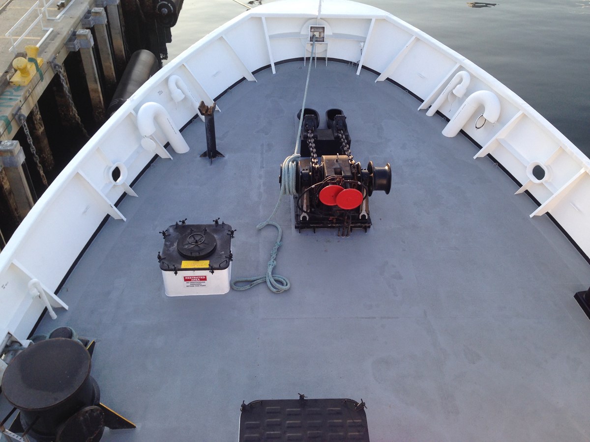
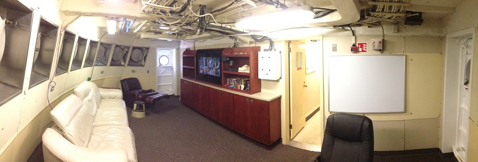
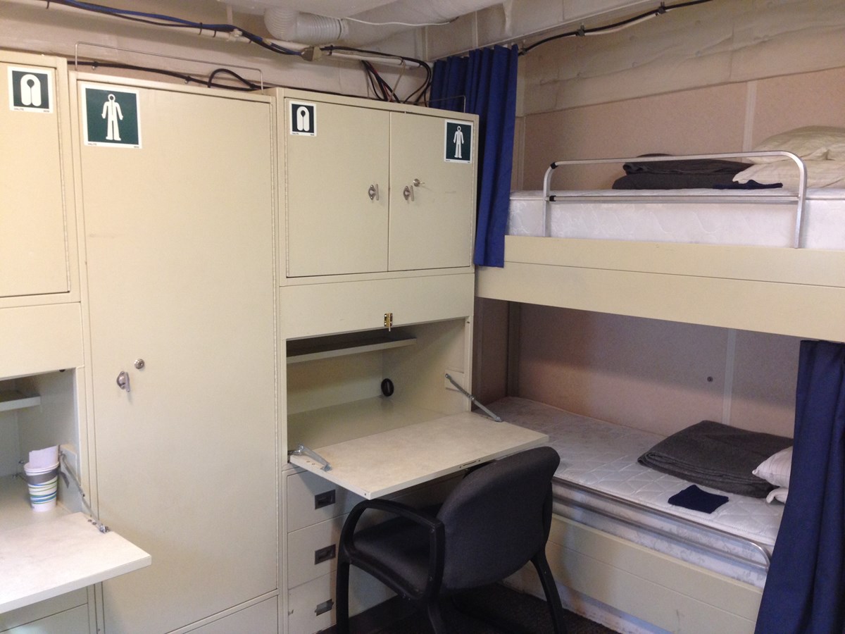
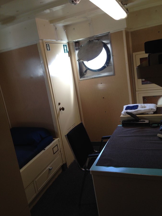
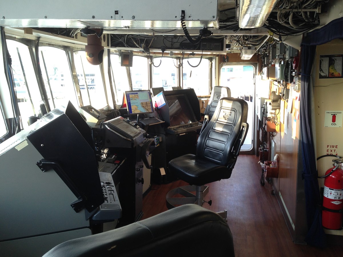
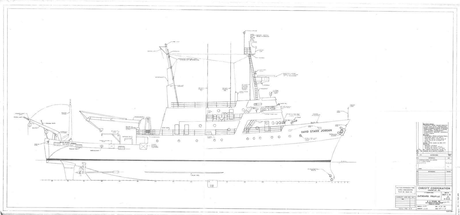
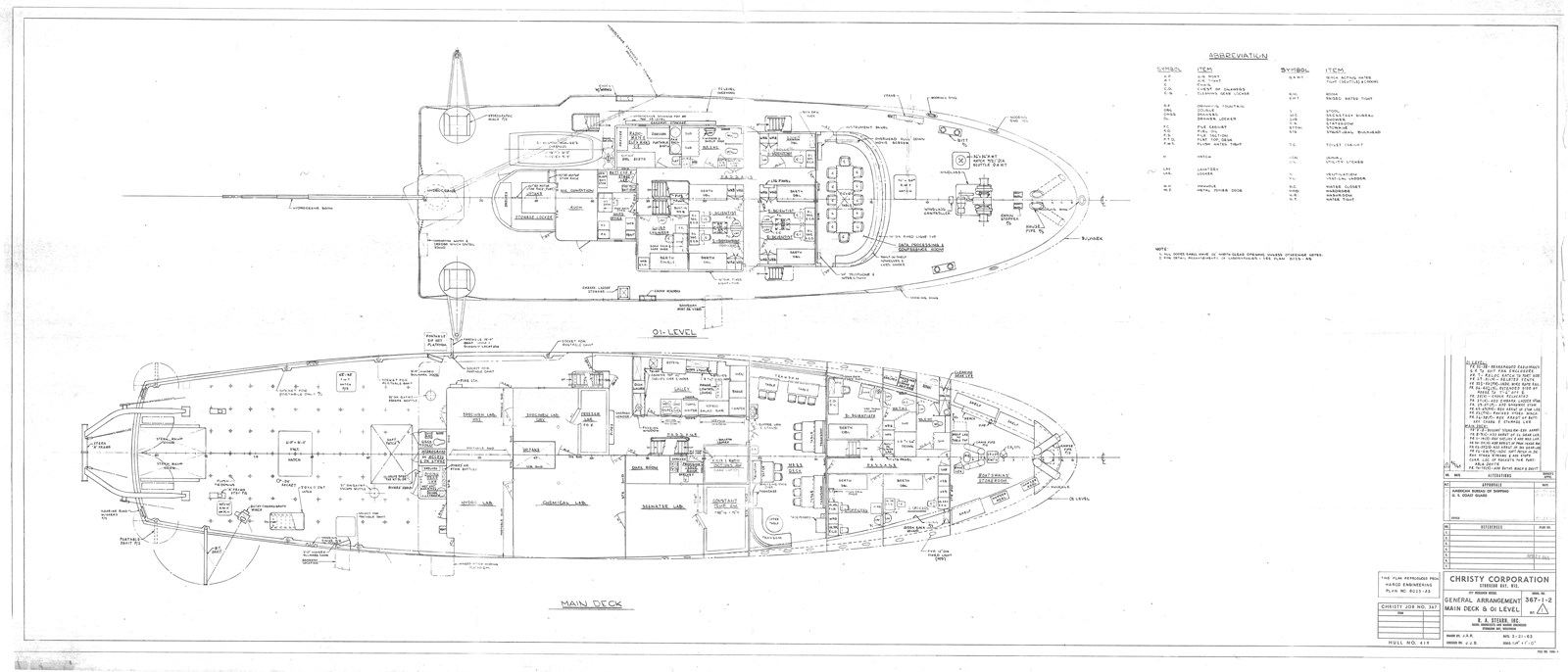
NOAA Ship David Starr Jordan was a floating laboratory equipped with temperature­controlled aquaria and live specimen wells, walk­in freezer, dark room, data processing laboratory, and an underwater observation chamber in the bow and port side for studying fish behavior at sea. The ship was also equipped with a helicopter pad to support aerial observations and photo survey missions. The ship’s twin 500­horsepower diesel engines give the ship a 12­knot cruising speed.

The ship is named after David Starr Jordan (1851­1931), one of the best known naturalists and educators of his time. He wrote more than 50 books and published over 600 scientific papers on topics ranging from ichthyology (the branch of zoology dealing with fish) to advancing world peace. In 1879, Jordan became president of Indiana University and was selected in 1891 as the first president of Stanford University. Jordan was a member of the California State Fish Commission, and his investigations of the exploitation of the salmon and fur seal populations helped save these species.

NOAA’s mission is to understand and predict changes in the Earth's environment, from the depths of the ocean to the surface of the sun, and to conserve and manage our coastal and marine resources.

Recent Charter History:


  1. Summers/Fall of 2017 – 2019 – NOAA, “Large Vessel Charter for Surveys in the Arctic”.  These trips went from the first part of July through October.


  1. A.  BACKGROUND


As a changing climate and sea-ice retreat progressively expose the Chukchi and Beaufort Seas to a longer open water season, society will confront new resource management issues. These include the future of the cultures andsubsistence lifestyles of local indigenous communities, potential impacts of industrial activities (e.g., commercial fishing, oil and gas extraction), potential changes to regional ocean carrying capacity, and resilience of the arcticmarine ecosystem (NRC, 2014). To address these issues, the North Pacific Research Board in cooperation with multiple organizations has funded integrated ecosystem research, the Arctic Integrated Ecosystem Research Program (Arctic IERP), with the goal to better understand the mechanisms and processes that structure the ecosystem and influence the distribution, life history, and interactions of biological communities in the Chukchi andBeaufort Seas. The Alaska Fisheries Science Center (AFSC) is one of the partners in this program and will conduct the investigative ecosystem research portion for both the upper and lower trophic levels.


  1. B.  OBJECTIVE


Provide a platform to conduct seasonal observations and investigations in the Chukchi and Beaufort Sea for the Arctic IERP. The principal mission requirements along with key research themes are listed below:


  1. 1.    Transport, seasonal composition, distribution, and production of phytoplankton, particulate matter, zooplankton, fishes, benthic invertebrates, seabirds, and marine mammals
  1. 2.    Timing, magnitude and fate of the primary and secondary productivity
  2. 3.    Partitioning/flux of energy between pelagic and benthic realms


  1. C.  SCOPE OF WORK


The contractor shall furnish the necessary personnel, material, equipment, services and facilities (except as otherwisespecified)

to provide charter operations for the periods during the timeframes stated in Section D below. The starting port will likely be Dutch Harbor, Alaska (AK), with port calls in Nome, AK. Operations will include fisheries and oceanographic research, involving multiple nets and gear types being deployed off the contract vessel with workprimarily occurring in the Chukchi and Beaufort Seas.


  1. Spring – 2017 – USGS, “Research Vessel Charter, Eastern Gulf of Alaska”


I. GENERAL INFORMATION

A. Introduction. U.S. Geological Survey has a requirement for a vessel to support the

collection of geophysical data in the Eastern Gulf of Alaska.


B. Scope. The purpose of the study is to assess the earthquake, landslide and tsunami

hazards along the Queen Charlotte-Fairweather Fault system, which extends along the

continental shelf-edge of the eastern Gulf of Alaska. The survey will extend from Icy

Point in the north to the international border on the south; between 50 m and 3000 m

water depths.

USGS Field personnel will mobilize and load scientific equipment onto the vessel in a

harbor with dockside support (i.e., access to cranes, forklifts, hardware stores) for 3 days

at a site located no more than 3 days of transit to the survey area. Scientific gear will be

loaded onto the vessel and set up for operation approximately three days prior to

departure. The vessel will transit with the equipment and personnel to the study site in

the Eastern Gulf of Alaska. Approximately 15 days will be spent on site conducting a

marine geophysical survey that will include multichannel seismic reflection data

acquisition. Upon completion of scientific operations, the vessel will return to the

harbor, where USGS personnel will demobilize and unload their equipment in

approximately 2 days. The total duration of the operation will be approximately (26)

twenty-six days.

  1. Spring/Summers 2010 – 2016 – NOAA, “West Coast Charter for Trawl-Capable Vessel”


At-sea work between May 1st and Sept. 30th offshore the coasts of California, Oregon and Washington.  The work will consist of conducting plankton tows, oceanographic profiles, pelagic fish trawls, active acoustic sampling, and underway egg sampling at a series of stations and along transect between stations.  The data collected will be used to inform assessments of various stocks of pelagic fishes, rockfish and salmon.  The Government will supply te trawl nets, doors, associated rigging and other sampling gear for use by the scientific party at sea.


  1. Fall/Winter 2015 – Intituto Nacional de Ecologia (INE), Vaquita Abundance Survey


The Vaquita (world’s smallest porpoise) abundance survey was carried out by CICESE, The Center for Scientific Research and Higher Education at Ensenada (in Spanish: Centro de Investigación Científica y de Educación Superior de Ensenada, CICESE) is a public research center sponsored by the National Council for Science and Technology of Mexico (CONACYT) in the city of Ensenada, Baja California, and specialized in Earth Sciences, Oceanography and Applied Physics.  In addition to sponsorship from the Mexican Government, assistance and support was given by NOAA and Scripps Oceanographic Institute.  The Vaquita lives exclusively in the a small area at the North end (top) of the Gulf of California and is the most endangered species of marine mammal in the world.  With less than 25 Vaquita remaining, the Gov’t of Mexico requested that a precise estimate of current abundance be obtained.


  1. Spring 2015 – The Ocean Cleanup, Proving Trials for Experimental Accumulation Net


Every year we produce about 300 million tons of plastic, a portion of which enters and accumulates in the oceans. Due to large offshore current systems called gyres, plastic concentrates in certain offshore areas, of which the Great Pacific Garbage Patch between Hawaii and California is the best known example.  We developed a prototype net to collect samples of the plastic concentrates in the Pacific gyre and tested in the mid-Pacific region, in advance of deploying a clean up system.


David Starr Jordan
RV_Ocean_Starr1280
Ocean+Starr_Expedition Yacht Design
2015-08-14 11.00.04
2015-08-15 17.11.54
2015-08-15 17.22.09
2015-08-15 17.30.26
2015-08-15 17.37.18
2015-08-15 17.37.35
2015-08-15 17.37.44
2015-08-15 17.38.21
2015-08-15 17.40.59
2015-08-15 17.41.46
Galley.1
Galley.2
IMG_1566
Lounge
Typical 2 person
Tyypical 1 person
Wheelhouse.1
OceanStarrGA1
OceanStarrGA2
Generated On 4/19/2024 9:38 AM by Paul Madden Proud Member of